Landmannlauger

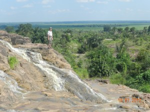
The opportunity for outdoor adventure is one of the big draws of Iceland, and no single outdoor adventure site is a bigger draw than Landmannlauger. Situated in the highlands a few hours drive from the south coast, its popularity is based on its combination of exotic remoteness and its relative accessibility compared to many other highland destinations. While it is technically located in the highlands, Landmannlauger is also not nearly as bleek as some of Iceland’s other highland areas that I visited (See post on F35), and features a hot spring set in a landscape of lava debris in an area that also has lots of green.

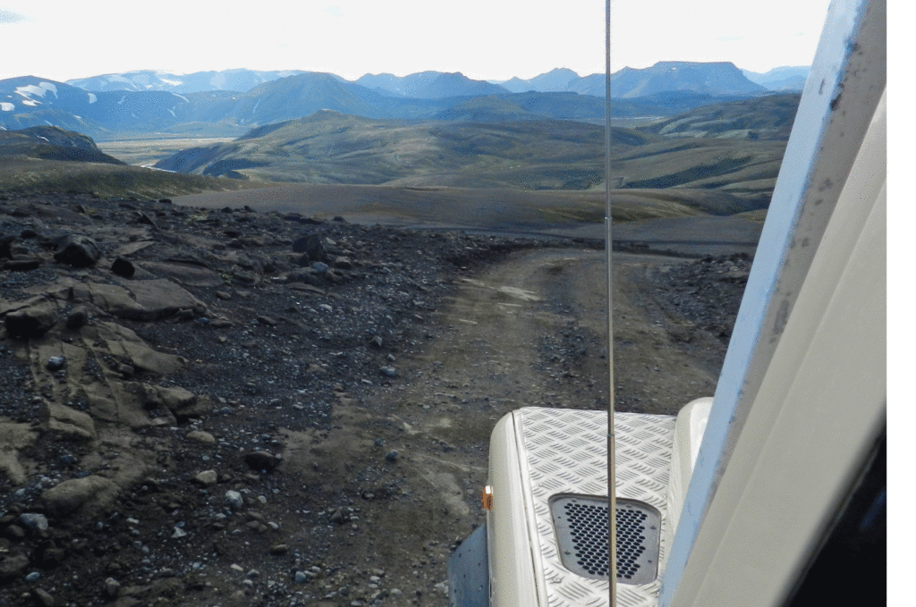
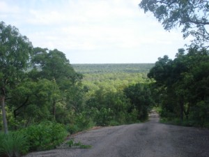
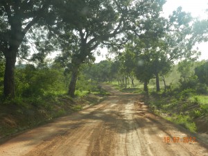
The approximately 4 hour drive in from the Ring Road coming from Vatnojokull did not disappoint.   It took us through a changing landscape that featured rocky outcrops and enough river crossings that I finally felt the investment in the snorkel was worth it.
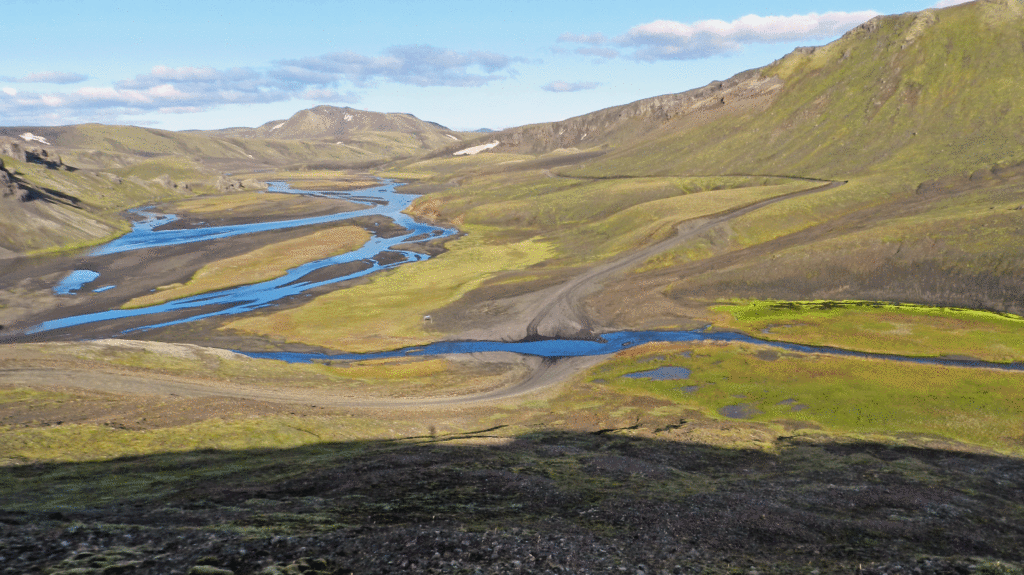
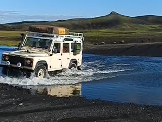
On the F208 toward Landmannlaugar

We did not take enough photos of this beautiful stretch of highland road in so I, with credit where credit is due, I am going to use a video taken by another F208 user who captured the experience very nicely. It is a bit long, the latter half contains the more interesting country. Our weather was much better than depicted in this video.

At Landmannlauger itself we had to confront one of the more challenging stretches of the trip because it is preceded by a ford that can be relatively deep. Located a couple of hundred yards from the campsite many visitors who drive themselves in prefer to avoid crossing and park outside and use a pedestrian footbridge to go over the water and walk to the the campground . Just a hundred meters later, the campsite is the starting point for many hikes,to admire the mountains that dominate the site. Stephen and I drove in no problem.

Most visitors are there to hike. There is an established popular 4 day trek trail between Landmannalauger and Thorsmork to the west (see subsequent post of my visit there with Laura) and there are “buses” that make the trip to both ends of the trek on a daily basis. We could not tell if there was a particular preferred direction to make the hike; some of the hundred or so people camped there when we were there had just come off the trek from Thorsmork and some were just heading off in the other direction.
The campsite featured a large open camping area with couple of simple structures to provide showers and a covered eating areas and a more finished building contained dormitory facilities.
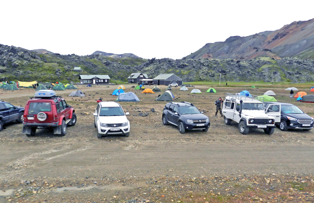
Upon checking in to pay for camping we were issued wrist bands just like the ones one gets at all-inclusive resorts in the Caribbean, but there was no free bar and indeed not very much in the way of facilities. The way it was managed reminded Stephen of refugee camps he had seen in Ethiopia; one could not use the bathrooms or enter the shower area unless you had one of those wrist bands. It was striking how all movements were controlled and managed. Icelanders are not the most welcoming of people.

And of course, Landmannlauger has a hot spring that feeds a natural pool, and we made the most of it. We were there in the early evening and there were only a few of us in there. I had a conversation with an English couple that owned horses at home and had spend some time riding the Icelandic horses. I learned that Icelandic horses are unique in many ways. The relatively small size is a feature I knew about, but apparently they also have a step that no other horses have. We spent a most pleasant quiet hour in the pool, and were pleases with our timing when later we were woken up in our tents by the crowd of late-arriving hikers that had descended s there towards midnight when it was dark.
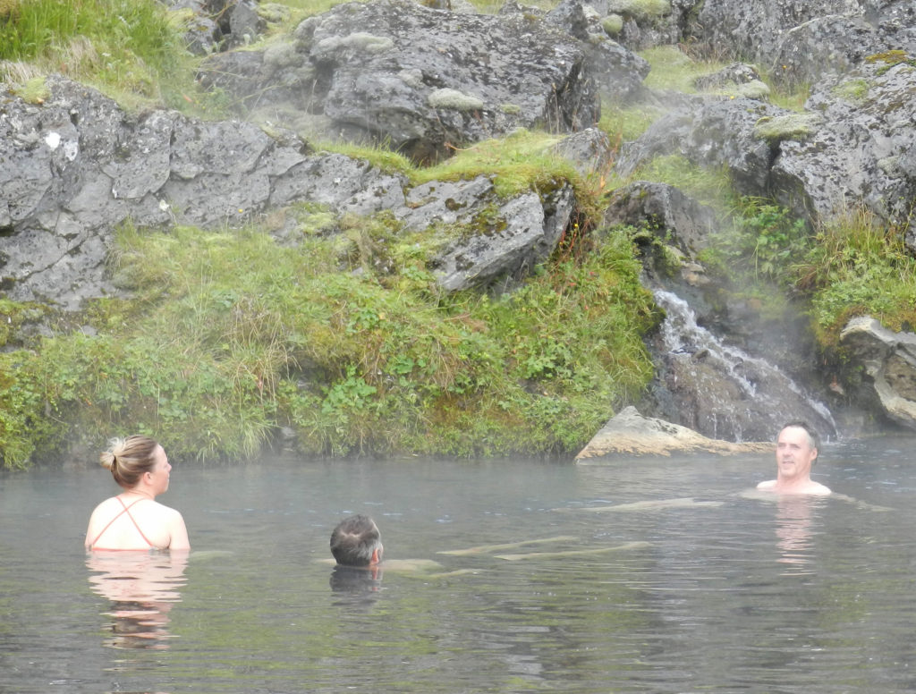
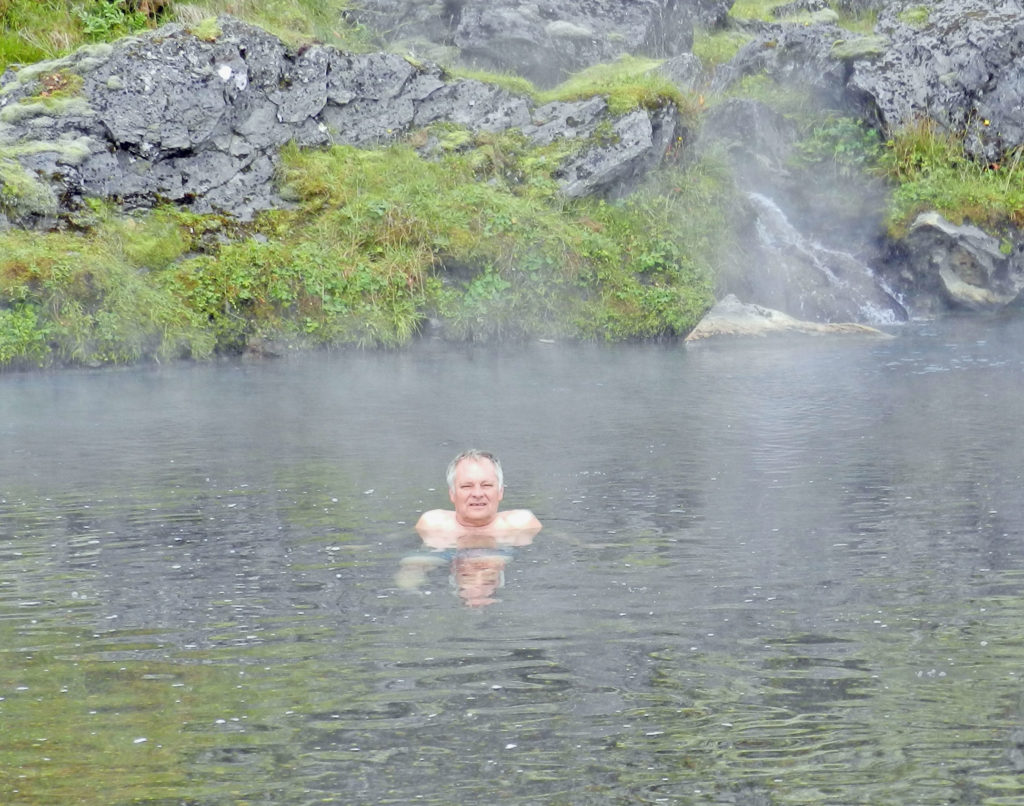
Stephen and I in the Landmannlaugar hot spring. (who is that girl?)
Stephen soaking out the F208

In the morning when I climbed down from the tent Stephen was nowhere to be seen and it was an hour before he returned from a hike along the trail to Thorsmork. After a slow breakfast we hit the road, continuing along the F208 going west, with no real idea of what our destination was . That is actually a wonderful feeling, being in a strange place not sure where you are or where you are going. We had a very pleasant drive coming down from the highlands via the scenic F225, which leads into the bottom (western) end of the F26 cross highland route (the long one that Maurice and I had eschewed in favour of the shorter F 88 for our south-north highland crossing 3 weeks earlier. Shortly after Stephen and I joined it became the paved 26, which meandered through fields and sheep farms.

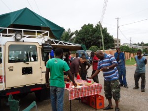
Saying Thank You to Opere, Paani and the boys

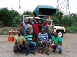
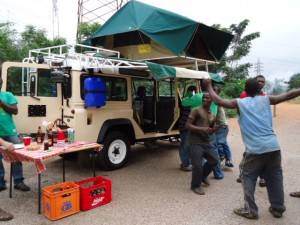
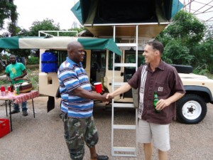
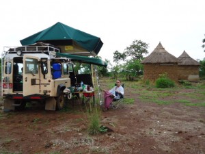
The eighteen months of our Land Rover restoration project brought us into contact with many people who in their own way contributed to the successful outcome.  We met mechanics and electricians, welders and painters, upholsterers and air conditioning specialists.   After returning from our trip one of our last Saturday afternoons in Ghana before departing for Canada was spent saying thanks to many of those individuals by inviting them to Opere’s shop for pizza and beer.  We set up the Defender in full campsite mode, filled the fridge with beer and soft drinks and brought some pizza from Frankies and meat pies we bought from Rejoice at the High Commission.
The turn out was not bad, if devoid of female presence.  Despite that, on request we put an Ebo Taylor CD in the stereo and the boys even danced.

It was our way of saying thank you and farewell to some people who helped  realize a project that was, when you think about it, rather unlikely and against the odds.

West Africa Wander By the Numbers


This is a very delayed post, sent almost three weeks after we returned to Accra and concluded our overland trip.

Here is a summary of our overland trip in a 17 year old Land Rover Defender, quantitatively speaking:

Countries visited  4

Kilometres driven  5,500

Km on unpaved  roads, ranging from reasonably good laterite to downright poor donkey track:  About 1,000

Oil consumed  ½ litre

Breakdowns:  0

Number of times stuck:  0

Maintenance stops 3

Flat tires:  1

Nights: 30

Nights camped in organized establishments 17

Nights bush camping 4

Number of campsites  16

Nights in hotels:  9

Number of hotels 5

Per night Cost  of Camping  $10

Per night cost of hotels $80

Most expensive night:  $110

Least expensive night:  $0

Days of rain:  3

Restaurant meals: 20

Camp/Picnic  Meals 70

Border crossings: 6

Currencies:  2

Blog posts published 25 (including this one)

Guides Hired:  11

And this is where we went:

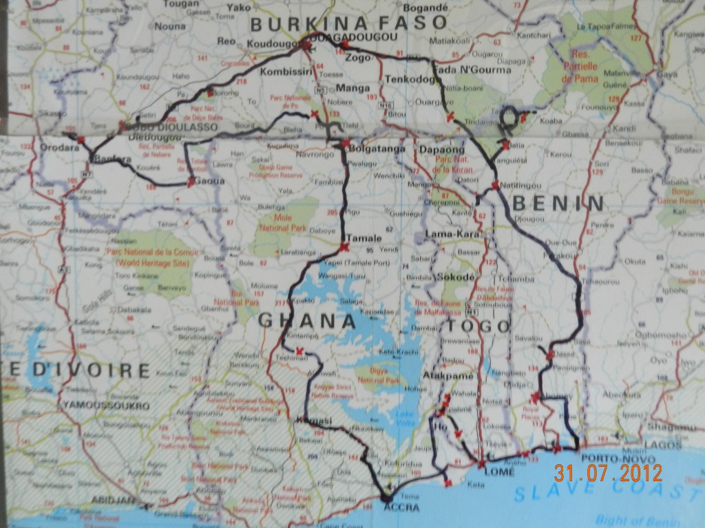
Our counter clockwise route from Accra, Ghana, into Togo and Benin, back into Togo from northrn Benin, returning to Benin, on to Burkina Faso and back into northern Ghana descending to Accra. Red x”s indicate stopover points.


Tamale

After leaving Bolgatanga our drive down through northern Ghana was a return to the somewhat familiar.   We arrived in Tamale, capital of the Northern Region, about 15:00, in time to go by the CIDA Program Support Unit (CIDA-PSU) office there.   Tamale is a pleasant city, clean with wide street and good infrastructure.   For Jonathon this was to a certain extent a return to work.  We were on holiday but being there he was pleased to engage in work-related discussions with Iddrissu and others in the PSU, not a bad way to get caught up after more than a month on the road incommunicado.   We have been to Tamale before, Jonathon for work many times, and always stayed at the Marian Hotel, but this time we were looking for something a bit less refined.  On the advice of  CIDA-PSU colleagues we went to the Ghana Institute of Linguistics Guest House where the manager agreed to let us set up Camp Defender in their lovely garden.

Northern Ghana is where Ghana sheanut is grown, from which many beauty products are derived.  The cultivation of the trees and the processing of the nuts is principally a female activity, and the source of income for many women who work independently or in co-operatives.  While in Tamale we were able to stop in at one for tour and purchase some of the sheanut “butter” which is great skin lotion.  A lot of this is exported, and can be found on the shelves at the Body Shop in malls in North America.

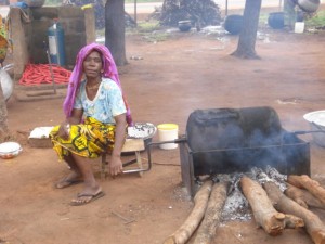
Woman Drying Her Shea Nut in a co-operative processing centre

Most significantly is was while we were in Tamale that Ghana’s President Mills died unexpectedly, we learned of it while we were in an internet cafe and may have seen it before most of the rest of the city.

The other item worth mentioning was meeting up with Abu, the Director of Northern Region office of Ghana’s  Environmental Protection Agency (EPA).  Jonathon and Abu know each other through the CIDA-EPA partnership and on this visit they had lots of fun sparring about the Land Rover. As those of you who followed the restoration stage of this blog may know, for the first 15 years of its life our Defender was an EPA vehicle, and  as an EPA veteran Abu spent many miles driving it around the extremely rough tracks of northern Ghana to support village  environmental education.  Abu was very sceptical that this was indeed the same vehicle, it was only when he saw the original GR 1995 license number that they had etched in all the windows that he accepted it was indeed the same vehicle they had driven so hard for so long, and evenatually sold at auction for scrap.  Abu said EPA wanted to buy it back now; Jonathon said it was not for sale.

Jonathon and Abu sparring about the old EPA  Land Rover

After an unofficial CIDA work-related meeting with the PSU and EPA (Jonathon forgot he was on holiday)  we had a much later than planned departure out of Tamale. We knew we would not be able to make it as far as Kumasi, Ghana’s second largest city and a milestone en route to Accra,  before dark.  The back-up plan was to pull up at a monkey sanctuary about 100 km north of Kumasi a ways off the main road.

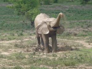
A couple of hundred kilometres to the south-west of Tamale is Mole National Park, the place to go in Ghana to see elephants.  Although we did not go there  on this trip, we could have, and because it is such a great part of the Northern Ghana experience we are going to cheat a bit here and close this post with a couple of pictures from a visit we made there last year.

Up close and personal with a Mole stag


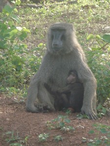
Baboon Mother and Child


Bolgatanga Baskets

As we made our way toward Tamale from Sirigu the main stop of interest was Bolgatana, capital of Ghana’s Upper East Region.  Bolga is known for it very unique and attractive baskets, which are arguably the most attractive craft produced in Ghana, and useful to boot.  One can find these in Accra, but there is something satisfying   about going to the source.  We were also in the market for a few of these baskets for a design idea for our Ottawa house.

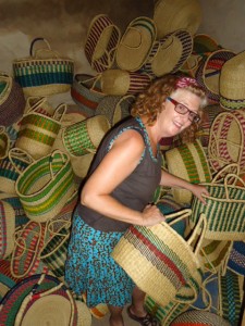
One source is a craft market on the outskirts of Bolga, but there is also a place referred to as the basket market, which is less of a market than a dark, unenhanced room with baskets piled in it.  We went to both but it was the latter that had much more greater choice and higher quality for what we were looking for.   Laura went wild.

Basket Case?

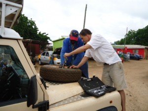
Bolgatanga also has to be counted as a maintenance stop.  While Laura was basket shopping I went to deal with the slow leak in the right rear tire, which was actually not so slow anymore and had gone completely flat while we were in Sirigu.   The affable roadside tire guy I chose was quite amused by the hardware he pulled from inside our tire: a 2″ inch nail AND a 3″ bolt!

We finally used that spare tire that graced the bonnet through 3 countries


Painted Houses of Burkina and Ghana

Our last night in Burkina was spent bush camping near a National Park called Ranch Nazinga, a popular site for elephant viewing.  The late afternoon was another off-road excursion down a mud track  to try to get into a campement that was located some 5 kms off the main road.  There had been a great deal of rain the previous night and day and we had to traverse some wide stretches of water.

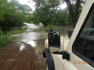
for about 20 minutes until we arrived at the Nazinga River, which normally one just drives through.  However, it had swollen its banks and was about 100 yards wide where the track went in.   I waded in to check the depth, egged on by an audience of local teenagers who kept saying  “ca peut aller” (it can go).  Clearly for them this was a spectator sport.

Wading in to assess crossability. It may not be clear here, but that is water as far ahead as you can see, and more water off to the right

One of the older boys said “il y a un trou” (there is a hole) and that there was  another route upriver where they had put in some boards to help the crossing.  If we had had a couple more hours of daylight I might have tried it but there was quite a current and it was getting late so we decided that discretion was the better part of valour, swallowed our pride and turned around, much to the chagrin of the boys. The fact was that we were just looking for a place to camp for the night and there was no reason for us to risk having the Landy swept downriver.   We retraced our route through down the wet track and found a nice place to camp on higher ground to pass a very pleasant night.

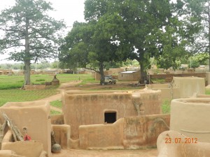
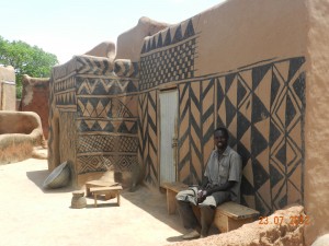
At Nazinga we were only about 40 kms from the border, but before we left Burkina we took a detour east to the village of Tiebele where the Gournonsi practice of decorating the outside of the mud houses with painted geometric patterns is still evident.   Despite the poverty Tiebele almost felt touristy as we were flagged by prospective guides.  There is no system for assigning guides, you get the one that you decide to stop for, but once you have chosen one it seem the rest leave you alone.

We were taken to a complex of mud houses that are apparently the residence of the Chief and his family, the guide said some 80 people lives within the walls.  It was a bit more refined than houses we have seen elswhere with some very unique features.

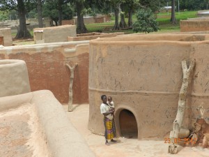
Mom and child in compound – note the Y branch roof ladders

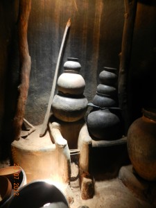
We did get a sense that maybe this was more of a museum than an actual house, it seemed too neat and clean.  There were some people around, and women on the roofs stirring grains as they dried in the sunshine, but the place felt like it might be more a place to show the tourists than an actual chief’s compound.  However that did not detract from the very unique structure, which had many features we had not seen in other villages we have visited.

We could see plenty of other similar structures around, it is much less disruptive that they have one they can take the tourists to without disturbing people.  That is just good community tourism management.   In the Tata Somba houses we went to in Benin and Togo we had to pay a tip to people whose houses we visited, which was a bit awkward.

On our way out of Tiebele we stopped at the local pump to fill up our 20 litre wash water jerry can.  We paid  the Village Water Committee 200 CFA (50 cents) for the water, and another 200 CFA 50 to the fellow who lugged the full water can back to the vehicle.

Our objective that night was Sirigu in Ghana,which is about 60 km from Tiebele by road through the border crossing but probably only about half that as the crow flies.  We spent the last of our CFA on diesel  at the last filling station in Burkina at Po before we crossed the border.  Then after crossing the border, just as we were clearing  Customs on the Ghana side, the last of all the check points on both sides of the border, we realized that the filling station we had stopped at in Po an hour earlier had not put the gas cap back on. As it is a locking tank it meant a full set of our keys was also still in Burkina Faso.  Fortunately, officials in both countries were prepared to pretend we were still in Ghana while we quickly drove back to Po to pick up the keys and cap and waved us back through when we came back 20 minutes later.   I don’t think they would do that at the US-Canada border, but then they probably would not have forgotten to put the gas cap back on either.

We arrived in Sirigu about 5 PM, about 20 km in down a laterite road from the highway.  En route via the laterite side road we were pulled over by a Ghana Immigration crew that were clearly driven by pecuniary motives, and were none too pleasant about it.  They asked why were going to Sirigu and laughed when we said we were going to visit the Women’s Co-op.  “Ohhh, going for a visit are you?”   It was almost funny to see their reaction when they realized that we had diplomatic passports and the Land Rover they had surrounded to hassle had diplomatic plates.  They apologized profusely for bothering us and let us move on, but left us with an impression that the Ghana Immigration Service is not the most professional of organizations.

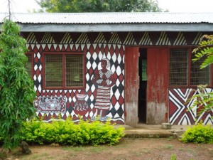
Sirigu and the surrounding region is also known for decorative painting of the houses.  There is a strong women’s co-operative in Sirigu that runs workshops and a guest house with a lovely grounds where we were able to camp for the night.  There was a Dutch man staying there who had taken workshops in pottery and basket-making, and an  American woman doing research in the region for her Masters thesis in Art History.   A pump on the grounds was visited by a steady stream of locals, mostly children, picking up water.   As the co-op facilities are themselves painted in the local style we did not have to go anywhere  to see it up close.

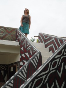
Laura on a Sirigu Roof, mimicking the cover of the 2009 Bradt Guide to Ghana

The Craft Shop at Sirigu Women’s Co-operative

Sirigu more modern and refined than what we saw in Tiebele, but does not convey the historical sense.    We visited the co-op shop in the morning and were on our way to Bolgatanga by 10:00 AM.


PS.  A systems note:   We have now put on more than 5,000 km on the Defender in the month we have been on the road.  Everything is working well.  The early charging problems we had with the second battery have disappeared and there is no longer any loss of coolant.  Incredibly, there is also no appreciable oil consumption – we have used less than a half litre of since we left Accra.  Even the air conditioning, for which I thought it was only a matter of time before something failed, is performing perfectly.   We did discover an interesting electrical glitch related to the faulty  hazard light switch that is the stuff Land Rover folklore is made of.  I had discovered sometime before we left Accra that if I turned the ignition off when the flashers were on the motor keeps running.   It was explained to me by Eric our electrician that the hazard switch overides other systems and that this can happen if the switch is faulty.   Replacing said switch did not make the cut when determinng the priority things to do before we left.  We discovered a new twist on the switch problem one day near Sindou when our stereo suddenly stopped working.  I thought it was simply a fuse and on inspection found that indeed there was a fuse that was blown that could have been the problem.  We were still looking for a place in Banfora to buy a fuse from when we put the flasher on to turn around and the stereo suddenly started working again.  We subsequently learned it was just a matter of playing with the hazard switch until the radio comes on, then it stays on, at least until we go into reverse gear, which for some bizarre reason knocks the stereo off again.   I am not making this up.   Apart from that rather humorous glitch, and a slow leak in a rear tire that needs attention,  everything is humming.

Sindou Peaks of Western Burkina

On  our drive west from Bobo- Dialaisso to Banfora we stopped to take a picture of a particularly green valley below and it was only in the process of framing the picture that we noticed a waterfall tumbling across a field not 100 metres from where we were parked.    What a great picnic spot!

Our destination that day was Sindou, site of the most amazing natural landscape.  We did a bit of an unplanned detour toward Cote d’Ivoire because on our map it appears to be straight through the town of Banfora and, unbelievably,  the dirt track turn-off for Sindou in the town of Banfora is not markedl.   Great road, but the mille bournes (milestones – a legacy of the French colonial system) all kept counting down the distance to  the border town of Koloka, which was not on our route.  We caught this after about 10 km and turned around to go back to Banfora.  The correct road was only dirt, but it was much more attractive than the highway.


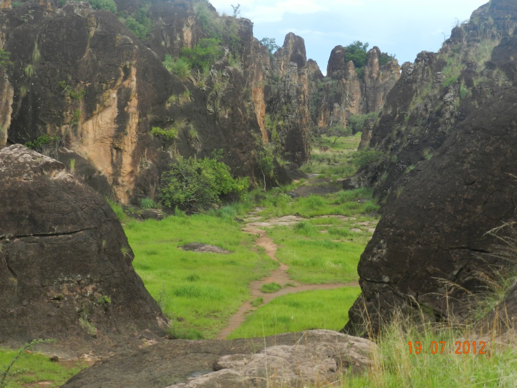
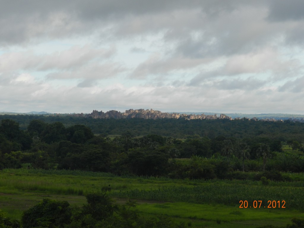
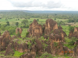
The Sindou Peaks are quite special.   Created by limestone rocks on one side of a very fertile valley that have been eroded into narrow stalactite-type structures.  The guidebooks all refer to landscape as reminiscent off “Planet of the Apes” although somehow that does not quite seem appropriate.

Walking tours of the area are provided by the Association Senoufa, a local community development group that uses the proceeds to help pay for childrens’ school  fees.   One can get tours that range from 1 hour to more than a week and involve hiking back to Bob0-Dialasso, the distance we had driven over  two short days.  We took the two hour option and that allowed us to hike to the upper plateau and get a great view.


Sindou Peaks as seen across the valley from our tent window


There was a special bonus to our visit to Sindou, in the form of what has to be one of the best campsites in the world, at least the best we had on our trip. We had been told about a campement in Douna, a town 10 km shy of Sindou, by Alain, the French owner of the B&B we stayed at in Ouga.  He did not rave about it, he just mentioned it, but we decided to have a look because it was getting late afternoon and it was before Sindou.  We are very glad we did.  As a campement it had also had rooms, but they were just very basic huts that were not really even furnished.  But as a campsite for us it was perfect.

Not a bad campsite at all


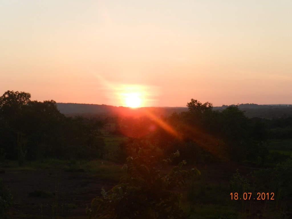
Sunset at Sindou

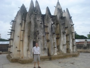
Mud Mosque of Bobo-Diaoulasso

After Ougadougou we headed toward western Burkina.   We had an overnight bush stop near Boromo, where we were treated to some good off-roading in search of a campement which we eventually gave up on for fear of getting trapped by more rain and instead retreated to stay closer to the main road.  Next was Bobo -Diaoulasso, Burkina’s third largest city to see the spectacular mud mosque.

Islam is a very important religion throughout much of Africa and this phenomenon is well-represented in  West Africa.   The faith was brought here by traders crossing the Sahara a thousand years ago, Timbuctou was a center of muslim acadenia and scholarship hundreds of years ago.  Today significant portions of the populations of most West African countries are muslim, in Burkina Faso it is about 40% of the population. Every village has at least one mosque, they are certainly the most common religious structure and call to prayer is resounds through the streets.

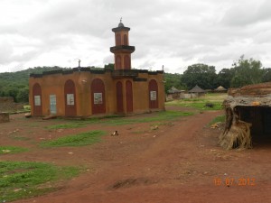
Typical Village Mosque in Sahel, this one is from Burkina

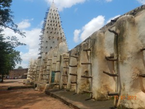
One of the great architectural manifestations Islam in West Africa is the unique mud mosques that are present throughout the Sahel.  Built only from mud, they are also identified by the pieces of wood, usually tree branches, that stick out  from the sides.  Contrary to first impressions, these pieces of wood do not serve any structural purpose, rather they are intended to serve as a permanent scaffolding to provide easy access for replastering and painting work which has to be done every year.

Mud Mosque of Bobo Dialassou

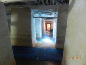
We went to Bobo-Diaoulasso in western Burkina Faso to see one of the larger examples.  Built in the 1840s it has some 56 mud pillars that are “towers” that provide support for the roof over the prayer area inside.   Each of these pillars is about 4’ by 4’ and they easily take up a quarter of the interior floor area.  That means it does not have a large open hall that is characteristic of other mosques.

Interior of of Bobo Mosque


Below are some shots of the smaller mud mosque at Nakori in northern Ghana we visited on another occasion.

Nakori Mosque near Wa, capital of Upper West Region of Ghana

Our first night in Bobo was at a place called Casafrica, which had little to recommend it, and the worst washrooms we had seen.  We did like Bobo enough to give it a second night, but after one night in CasaAfrica we decided we needed a night in a hotel.  We found a great place called Toucouleurs, complete with TV, WiFI and a lovely pool.  It was real treat, much deserved after a couple of weeks of roughing it.

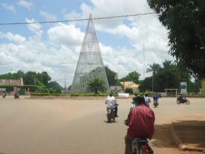
There is more to see in Bobo than the lovely mosque.  The city itself is very laid back and pleasant, with wide boulevards running from large traffic circles each with a sculpture.  It is a bit reminiscent of the work of Bernard Hausman in Paris and Washington, ironic given the relative poverty of the country.

Place de la Nation in Bobo


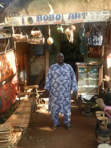
We also toured the oldest section of the city which is like a small village almost separate from the city that surrounds it.  One pays a formal admission to enter with a guide who explains the different sections of the neighbourhood.  It is quite a masterful blend of history, contemporary life, and a working craft village.  There was one place where a craftsman made drums out of his house, another workshop where they worked with brass using the so-called “lost brass method”, another where they made “bark-cloth” purses and bags, where the cotton or leather is coloured using dyes made from bark of different local trees.  

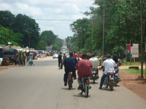
Daily life in Bobo


Art and Music in Burkina Faso

What a rich culture. The music wafts through the car windows. The crafts range from simple carving to works of art. We want to sample it all.

Our time in  Ougadougou was mostly spent looking for crafts and music.  Burkina is a very poor country, but has a very rich culture and Burkanibes are very creative.    Burkina is the site of a bi-annual African film festival called FESPACO Festival Panafricain du Cinéma et de la Télévision de Ouagadougou, held in October that attracts films from all over Africa.  On the off-years there is another bi-annual ffestival:  Le Salon International de L Artisanat de Ouagadougou (International Art and Craft Fair).  We are not here for that but there is no shortage of galleries in which to view the creative work.

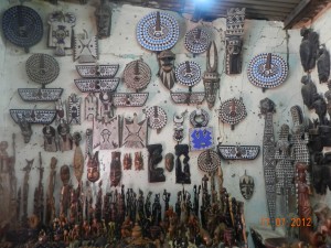
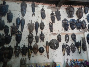
Burkina and neighbouring Mali are the West African wood carving masters. Pieces we have seen elsewhere we now learn are from here. Statues that might have had origins in traditional religion that is still so much a part of local life. Carvings that invoke plentiful rains or a healthy child. We opted for a sun that tradition says encourages a good harvest. (Who knows what we might decide to plant in our Ottawa garden.)


Bronze is another speciality of Burkina using the so-called “lost-wax method”.   Ghana has a few artists that use this same method but here it is used in large pieces of art. The design is first built in wax – for example a woman dancing. Then the wax is coated in clay and the wax is melted out leaving a clay mold. Into this mold the artist pours molten bronze which takes the shape of the wax. The clay is then cracked open and voila a one-of-a-kind work of art.

Then there is fabric. Wax print is ever popular but Burkina adds a bright batik style and indigo printing. The indigo printing that was in the market was a strange overprint on other fabric. More interesting than useful. So instead we now have quite a stock of the batik and coordinating colours. Make the best of what is available! And start to dream of new quilts to come.

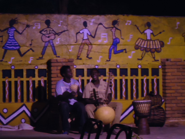
Contemporary Burkina music is called Coupé Decalé – unhinged steps. We went out both our nights in Ouagadougou (a miracle in and of itself) to listen to music. One night was a dj with a busy dance floor. We sat outside among the many tables on the sidewalk and bought barbequed chicken from a freelance guy set up right there and cold Brakina beer from the club.   We even danced.  The second night was live music alternating between traditional djembe, drums and flute, on one stage and a 5-piece band with female lead singer on the other.  As the evening wore on the band moved into earlier Coupe Decale, with the woman replaced by an older throaty singer who also played guitar.  There seems to be live music all over the country.  We bought 4 CDs that have quickly become part of our driving repertoire.


Itinerary Reality Check

At time of departure from Accra we had planned to visit four countries: Togo, Benin, Burkina Faso and Mali, or five if you include Ghana which we will travel from north to south.  Upon arrival in Ouga we had to sit down and assess the feasibility of getting to Mali given the unstable political/military situation there.

There are always risks associated with visiting Mali, kidnapping by Al Queda in the Maghreb (AQIM) being one of them.   We were prepared to run that risk to get at least to the Dogon country in the south central region of this very large country.   However, we learned in Ouga that AQIM had indeed taken over the northern half of the country from the Tuareg rebels who seized it from the national army several months ago.  Our  original Mali  objective was Timbuktu, but we had to give up on that months ago when the Tuareg seized the northern half of the country.   No-one was able to tell us what happened to the Tuaregs now that AQIM is holding that territory, other than to say they may start to destabilize other areas of the country.   We were told in Ouga that the Burkina army had set up roadblocks all over northern Burkina and that there were mined roads in Mali, and we see that the French Foreign Minister has said western military intervention may be necessary to prevent AQIM from setting up a regime similar to that of the Taliban in Afghanistan before the NATO intervention there.

We have limited time and internet access to confirm any of this and it could well be possible to duck into the Dogon country.  I am very familiar with the tendency of media and diplomatic missions to exagerate the seriouness of a situation, but time is also working against us on this one.   Our departure from Accra was delayed by a week to complete vehicle preparations and we only have time left now to do western Burkina or Mali, we can’t do both.  So we have decided to apply the time to western Burkina. We will have to wait for another day to get to Mali.