From the eastern Fjords Route 1 meanders along the southern coast through remarkable and changing landscapes, from steep rolling landscape to a vast flat area along the coast closer to the glacier, a creation of successive floods caused by sub-glacial volcanos that have erupted and sent acres of scree to the coast in the rushing melt-water.
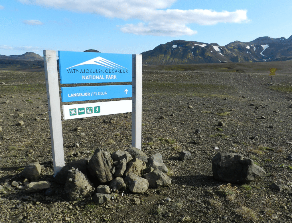
Vatnajokull is not only Iceland’s largest glacier, it is the largest glacier in Europe. https://www.mountainguides.is/blog/vatnajokull-icelands-largest-glacier The glacier and the area around were only declared a National Park in 2008, but it attracts more visitors than any other spot in the country.
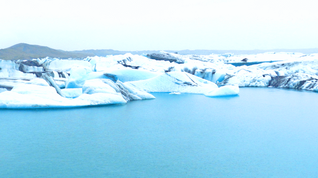
The vast majority of the glacier is in the highlands extending north from the coast, but it does descend almost to the ocean at a couple of points. At Jökulsárlón there is a glacial lagoon that has been growing for a few decades as the result of glacial melting. https://en.wikipedia.org/wiki/J%C3%B6kuls%C3%A1rl%C3%B3n Our stop there was rendered brief by a cold, driving rainstorm but we were able to get a couple of pictures at least.
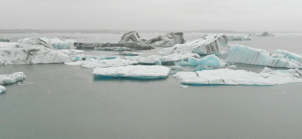
Jökulsárlón
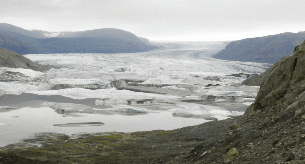
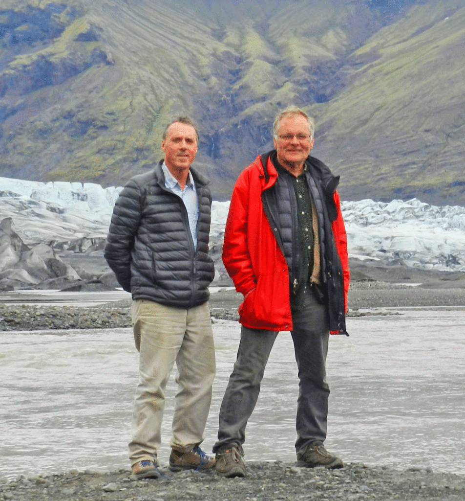
The Park’s main visitor centre and campground is at Skaftafell. By the time we got there the weather was better and we were able to do a short trail up to the glacier itself.

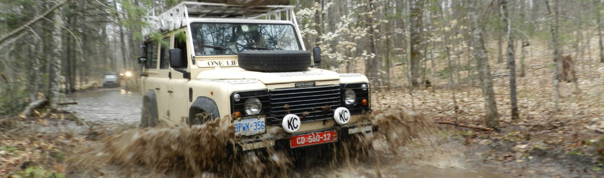
We opted not to stay at the Skaftafell campground because it was, as we had expected, quite crowded. Instead we continued west to a private, very well-run campground. There we met a Brit in a Defender that had come down from Landmannlauger, the highland hiking area which was our next destination. He made a very enthusiastic recommendation of an F-Road going in to Landmannlauger, the F-208. He said it had many water crossing but nothing a Defender could not handle. This proved to be one of the nicest overland routes I did in Iceland (not the nicest – that distinction belongs to the Thorsmork trip that I did later with Laura). Landmannlauger is the subject of the next post.